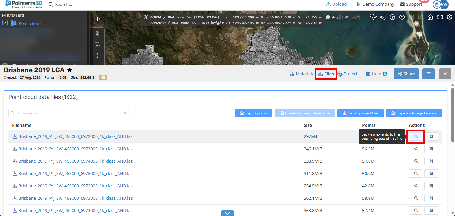
How can I zoom my 3D view to the extents of a file/tile?
If you have a point cloud that consists of many files, you may want to zoom or crop your view to the extents of a particular file (e.g. a lidar tile). There is a zoom to file extents option available from the point cloud file list in the Files section as shown below. Clicking the zoom to file button (shown highlighted) will set your view to the extents of the chosen file. If you use the crop to file button, then your selected points will be updated to select the points that lie within the file extents.