Release Notes - 14th June 2022
New Features
New Tree Analytics Module
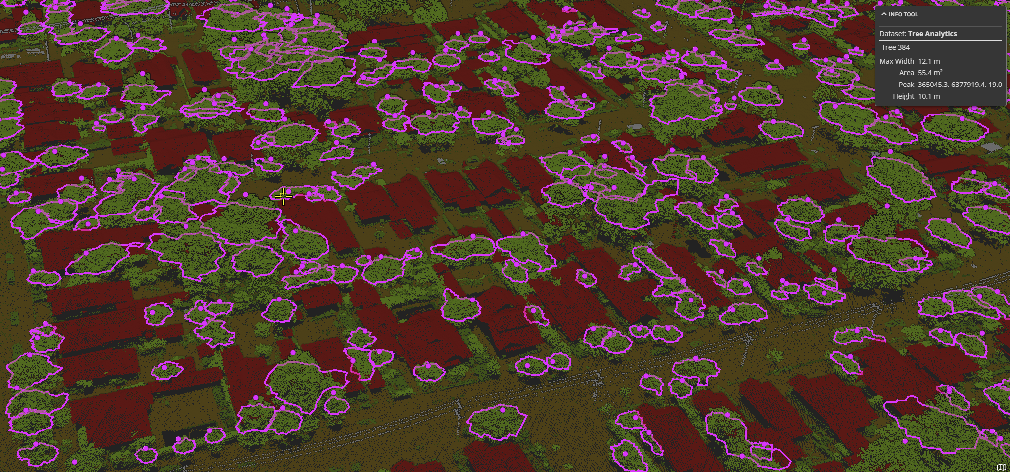
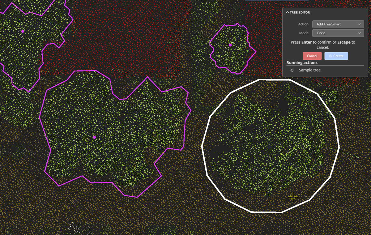
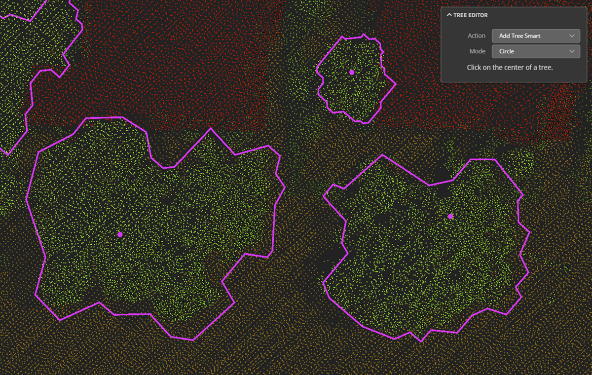
The tree analytics module has been rewritten, and now yields vastly improved initial analytics results. The analytics finds the peak height, and models a crown polygon to define the extent of the tree. New viewer edit tools have been created to enable "smart tree" creation using a combination of user inputs (approximate location and size) and a relaxed version of the analytics, to add in trees that may have been missed from the initial analytics. Other tools include: split, merge, and add attributes.
The 3D tree rendering now utilizes a dynamic loading strategy (based on distance from camera) that allows the tree viewing to scale to very large areas and tree counts. Tree inventory reports can be exported to KML, GeoJSON, or CSV, and include:
- Tree height
- Canopy area
- Tree width (max width)
- Peak coordinate
This data is also available via the info tool in the viewer.

 |  |
Improvements/Changes
Pointerra Core
- New Info tab added to main options dialog. Currently shows information about the GPU that the browser is using.
- Depth testing in 3D views now works better in orthographic rendering.
- Depth testing now works better on Android tablets/phones.
- Point of Interest (POI) positions update across 3D and 360 photo views when moved.
- Job details view now shows files that have been included/excluded for reprocessed jobs.
Analytics
- When using the paint tool in cross-section mode, the mouse pick mode now automatically gets set to pick points, as picking on the section plane can be confusing.
- Very large inverse polygon selections could lead to poor performance. This has been rectified.
- Added option to just search for poles (i.e. don't model wires or other features) using expected positions.
Utility Explorer
- Vector layers (from a Pointerra3D vector dataset) can now be added as layers to the base map.
- Limits placed on the 3D selection size to make sure too much data isn't generated for the 3D viewer.
- Added info tool functionality to the 3D viewer.
- Made display of labels on hover optional to improve performance.
- Network span graphics now continue to render at full resolution when zoomed out.
- Filter creation interface now displays pick lists for attributes that only have a limited number of distinct values.
- Cyclomedia viewer integration no longer shows the view point cloud button.
- Third-party network data can now be imported from an ESRI GDB.
- Points of Interest on the map can be filtered by tag.
Bug Fixes
- Fixed an issue where the section tool could be very slow to render.
- Viewing of photos was not working in API integrations that used JWT authentication.
- 360 photo processing was failing if the images were uploaded in folders that had a space in the path.
- The terrain could sometimes obscure the point cloud at shallow viewing angles resulting in missing points. This has been fixed.
