Manual Correction Tool Guide - Crop
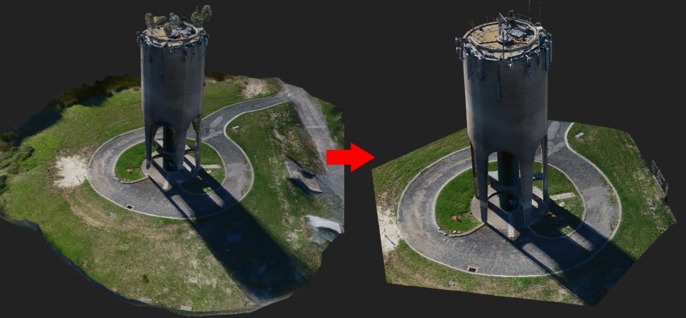
This tool is used for cropping all outputs generated by the photogrammetry processing. This is useful for cleaning up edge artefacts of the mesh and point cloud, or for reducing the processing area to a particular area of interest.
If you did not use the automatic vertical offset tool, then you will first need to define the ground plane where the polygon will be drawn. Click "Select ground plane" and click a point on the mesh that lies on the ground (this location of this point is not critical).
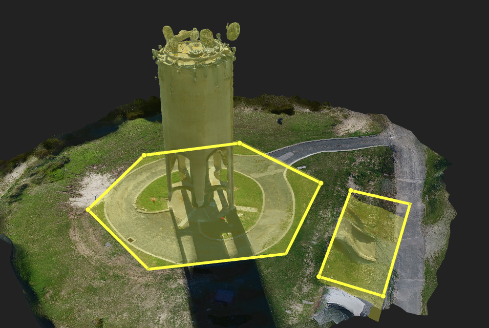
While the Crop correction tool is selected, you can freely draw polygons in the 3D viewer. This has the same functionality as the standard 3D viewer's Drawing Tool (i.e. you can use right-click to finish drawing a polygon, add/remove vertices, delete polygons etc.).
The polygon you draw will be filled in yellow, showing the parts of the mesh that will be included in the final output, while any areas not highlighted in yellow will be cropped out. This cropping tool supports multiple polygons and polygons with holes. Additionally, selecting a smaller area from a large dataset can reduce the processing time.
Once processing has completed, a geometry file (GeoJSON format) containing the boundary polygon/s will be available for download.