Working with structured scan data
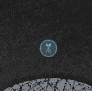
When working with structured scan data you will be presented with a unified point cloud in the 3D viewing window as well as markers in both the 3D View and 2D Map View indicating the locations of scan stations (you may need to change the visibility settings as described below to see the markers).
Displaying Scan Markers
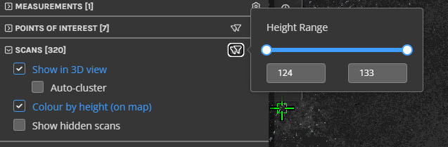
The scan markers can be turned on and off in the 3D View via the Visibility menu in the upper right of the 3D View or under the Scans tab in the Left panel (shortcut key: C). Scanners can be filtered by height using the Min and Max height fields under the Scans tab.

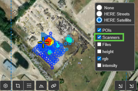
To turn on and off scan markers in the 2D Map View navigate to the "Stack" icon in the top right of the overview map and hover over it to bring up a menu, then check the scanners option.
Viewing Scans
To view an individual scan, left click on a scan marker either in the 3D View or on the 2D Map View to enter ScanView to view the structured scan data as a 360 degree scan image. For more details on working with ScanView mode, see Viewing Scans.