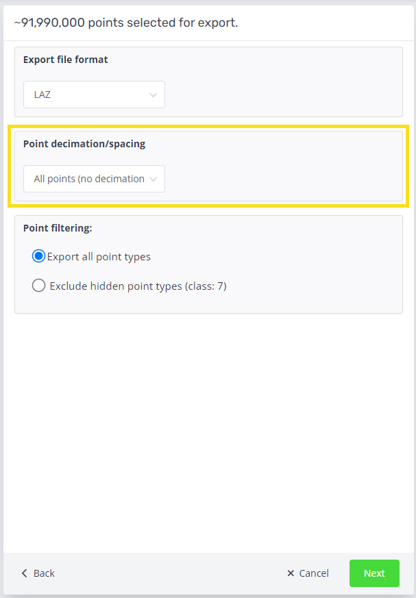
How does the point decimation/spacing work in the export dialogue?
During the export points phase there is an option to apply a decimation/spacing on the different file formats, excluding the DEM.
Note: This is not a Model Key Points style filter. To run a model key points see this help article.
Below are the current options:
- All points (no decimation)
- 10m
- 5m
- 1m
- 10cm
- 5cm
- 1cm
- 5mm
- 2mm
For example, when 10m export decimation is chosen, the exported las/laz files will have an average distance between points of 10m.
If you wish to have a custom option, please contact our support and we can work with you to add that in.

