Exporting points
To export points from a point cloud, you first need to make a selection. You can do this using the cropping tools in the viewer, from the map (see Selecting and Exporting from the Overview map), or export arbitrary regions using Annotation Layers.
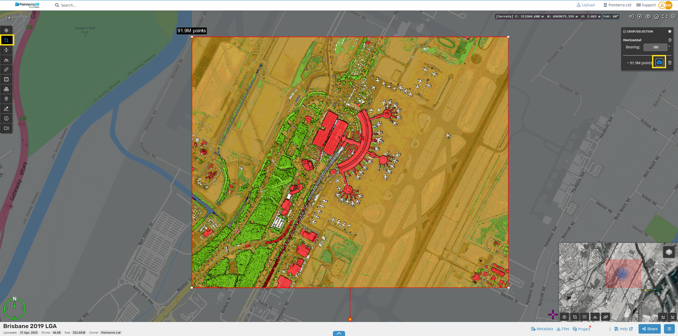
To select an area in the 3D view, use the Horizontal Cropping Tool (highlighted in yellow below) to select the points of interest.
Once cropped, the viewer will update to show just the selected points, with the Crop/selection panel that gives you an estimate of the number of points you have selected, and also an Export Points button.
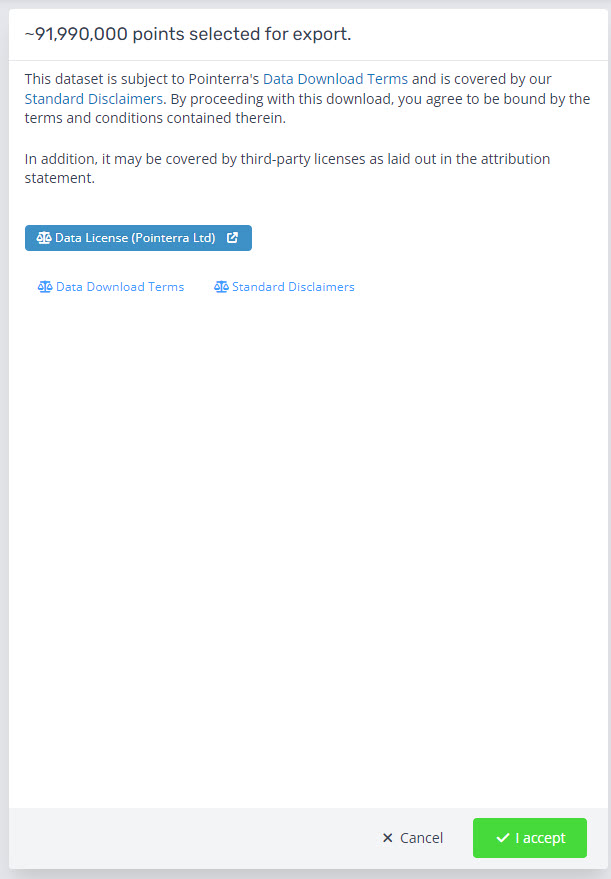
Click the Export Points button and accept the data download terms and conditions to proceed.
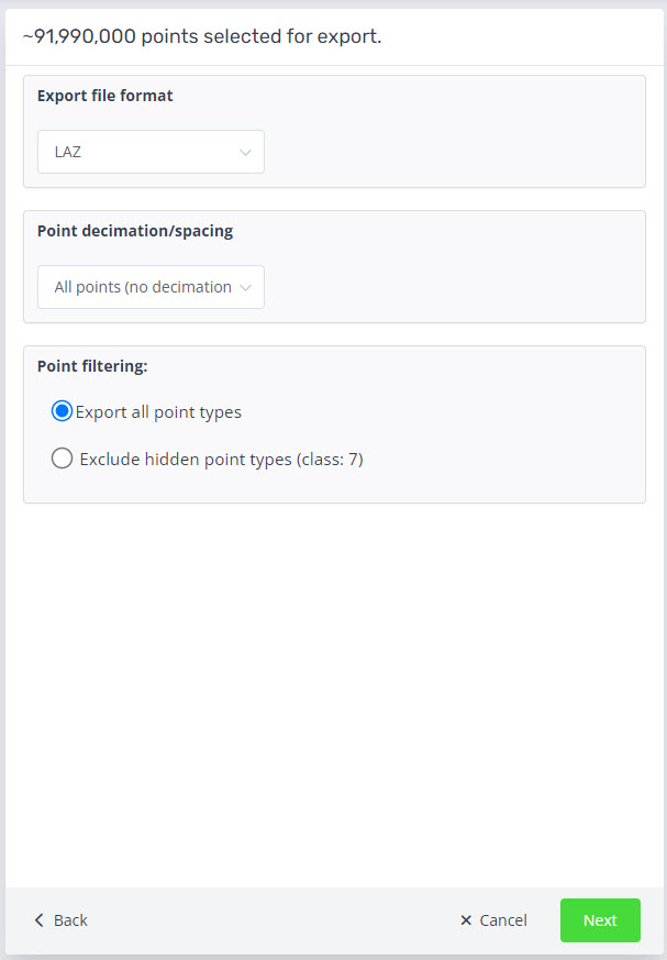
Then select the required file format as well as the point decimation/spacing for exporting. If you have a classification level turned off there is an option to include or exclude those levels.
We support exporting to:
LAZ
LAS
LAS 1.4
PTS
E57 (unstructured)
Recap Project (unstructured)
DEM
See the Help Article on the Exporting a DEM/DTM grid.
See the Help Article on how Exporting Point Decimation/Spacing works.
See the Help Article on how to Export only the point classes you want.
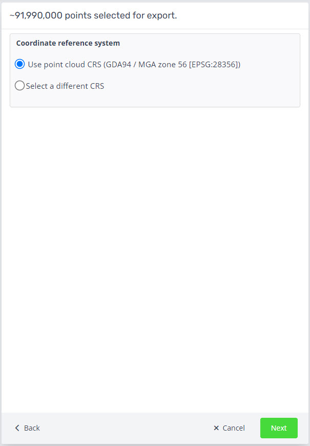
If your data is georeferenced, you can also choose to export the data in a different coordinate system. Note that this is not validated. If you leave this unchanged, the data will be exported in the original coordinate system of the point cloud.
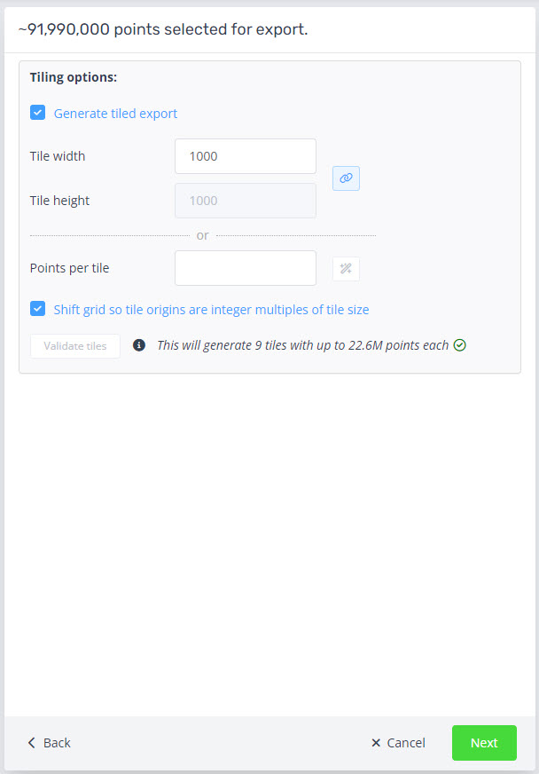
The next step is the tiled export. This option is enforced for data larger than 3 billion points, or 1 billion for Recap exports.
Set your tile width and you can choose to set a different height.
Or you can choose a maximum points per tile.
Optional is to shift the tile origins to the integer of the tile size.
Once set, click validate.
Note, the maximum number of tiles that can be exported is 10,000.
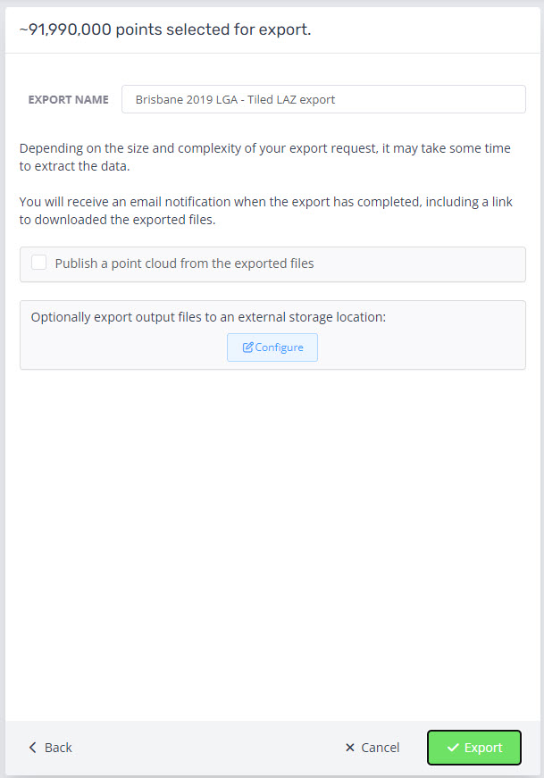
On the last page you will be presented with the option to name the export, publish the exported point cloud in Pointerra from the exported files and configure an external location for the files to be sent after completion. See this help article on how to set up an external storage. The time that this will take depends on the number of points selected. You will receive a notification with a download link via email (to the email address linked to your account) when the export is complete. If the option to publish is chosen you will receive a second email with a link to view.

