
Uploading GIS Imagery
Pointerra supports the following GIS image file formats that can be draped over the terrain.
ECW (.ecw)
GeoTIFF tiles (.tif/.tiff)
JPG2000 (.jp2)
JPG with JGW world file
PNG with PGW world file
ECW/JP2 will generally offer the best performance for very large raster imagery datasets. Large datasets stored as GeoTIFF should be spatially tiled to enable reasonable performance.
To upload GIS Imagery, or orthomosaics, either when upload a point cloud, through the project or the company datasets manager.
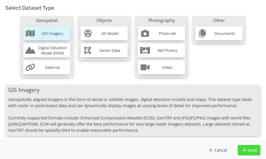
Select the GIS Imagery button and click next.
-
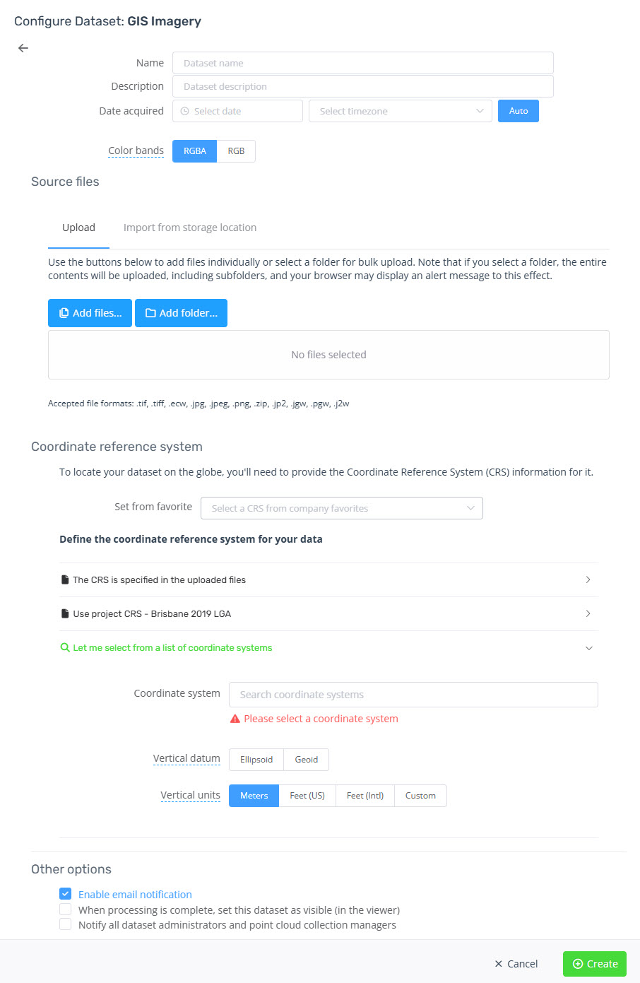
Choose a Name.
Optionally add a description and a date acquired.
-
Choose how the colour bands are represented in the imagery.
RGBA is where the 4th band is the alpha channel.
RGB contains only three bands.
Add your imagery files and associated project/world files.
Set your coordinate reference system.
Optionally choose any other options and click create.